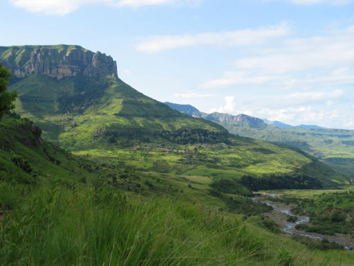
The Lebombo Mountains, also called Lubombo or Ubombo is a 800km long, narrow mountain range visible from northern Kwazulu-Natal to the southern border of Zimbabwe, and form a major part of the Kruger Park. It forms the boundary between the province of KwaZulu-Natal, Eswatini and Mozambique and between Mozambique and the South African provinces of Mpumalanga and Limpopo. The name is derived from a Zulu word, Ubombo, which means “big nose.”

Geologically it is composed of a sequence of Jurassic age volcanic rock, both basaltic lavas and rhyolitic flows and tuffs. The sequence rests on essentially horizontal Karoo Supergroup sedimentary rocks of the Kalahari Craton to the west and is overlain by Cretaceous to recent sediments to the east.
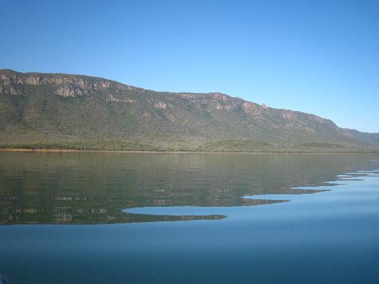
The average elevation of the range is about 600 metres above sea level; Mount Mananga, on the border between Mpumalanga province and Swaziland, rises to about 760 metres. A number of rivers, including the eastward-flowing Mkuze, Olifants, Pongola, Ingwavuma (Ngwavuma), and Usutu, cut their way through the range, and the latter two have formed especially spectacular gorges.
A number of game reserves, from the Ubombo Mountain Nature Reserve in the south to the Kruger Park in the north help preserve the huge biodiversity of these mountains. Eco-routes, walking trails, camp sites, and game drives are a-plenty – definitely worth a road trip.