Cyclonic and anticyclonic weather patterns are two major types of atmospheric circulation that have a significant impact on weather patterns around the world.
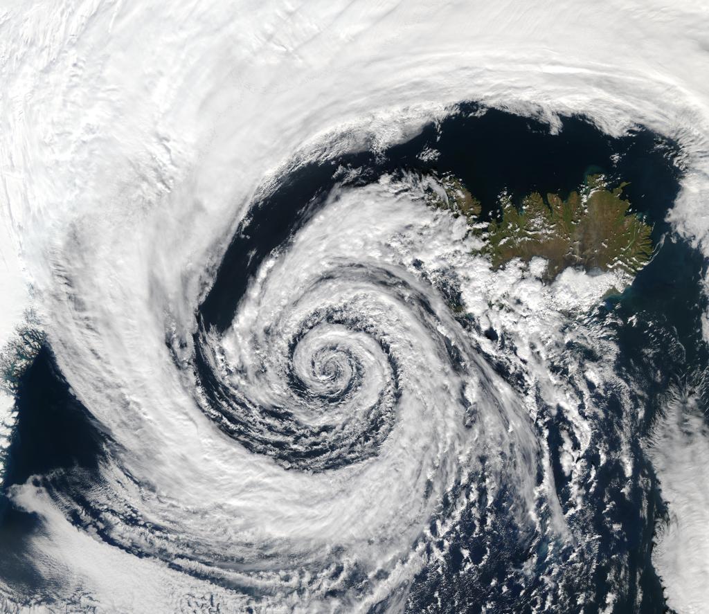
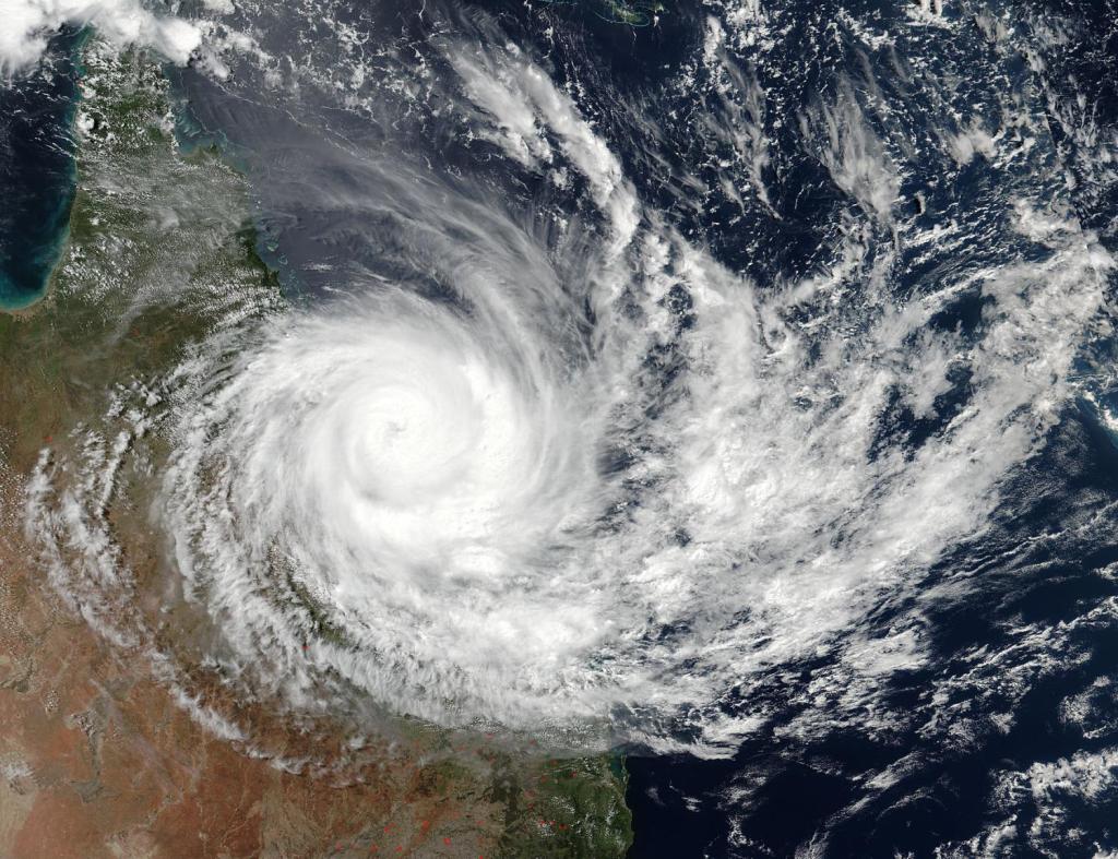
Cyclonic circulation refers to the circulation of air around a low-pressure system. This circulation is characterized by air converging at the centre of the low-pressure system and rising, resulting in the formation of clouds and precipitation. Cyclonic weather patterns are typically associated with storms, such as hurricanes and tropical storms, as well as frontal systems that bring rain, snow, and other types of precipitation. Cyclonic weather patterns are commonly found in areas where warm, moist air interacts with cooler air, such as the mid-latitudes and tropical regions.
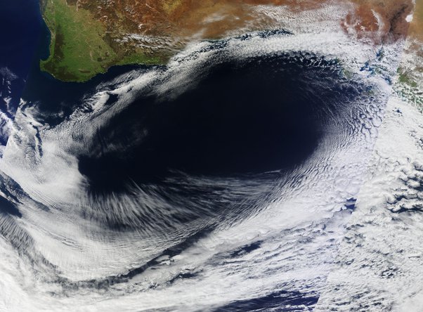
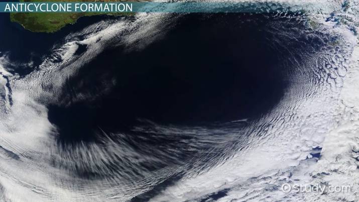
Anticyclonic circulation, on the other hand, refers to the circulation of air around a high-pressure system. This circulation is characterized by air diverging from the centre of the high-pressure system and sinking, resulting in clear skies and dry weather. Anticyclonic weather patterns are typically associated with high pressure and are commonly found in regions where air is descending from higher altitudes, such as the subtropics and the poles.
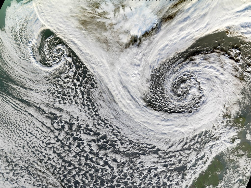
Cyclonic and anticyclonic weather patterns are not mutually exclusive and often interact with each other to create complex weather patterns. For example, a cold front associated with a cyclonic low-pressure system can trigger the formation of an anticyclonic high-pressure system in its wake.
Understanding the dynamics of cyclonic and anticyclonic circulation is crucial for predicting and preparing for weather events such as storms, floods, and droughts. By monitoring these patterns and their interactions, meteorologists can provide valuable information to help people and communities mitigate the impact of extreme weather events.